
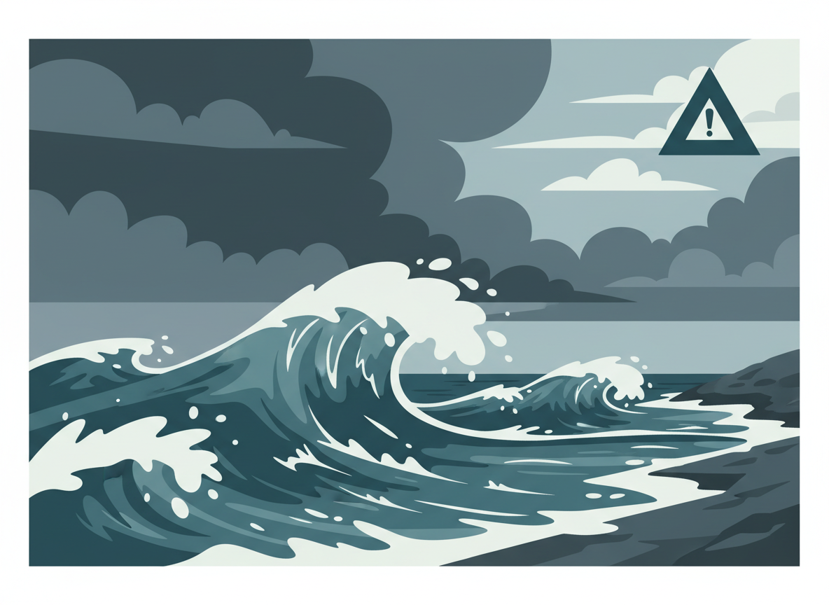
A significant coastal storm has been pounding the Mid-Atlantic coast since September 21, prompting the National Weather Service to issue a stack of warnings across New Jersey and Delaware, including high wind warnings, coastal flood watches, and rip current statements.
What’s actually happening
Strong onshore winds have brought gusts of 50 to 60 mph to immediate coastal areas, with 30 to 40 mph gusts further inland. Coastal counties in New Jersey and Delaware have been under a High Wind Warning, while Wind Advisories cover areas further from the shore. Marine forecasters have also issued Storm Warnings and Gale Warnings for the ocean waters offshore.
Flooding and beach impacts
Coastal Flood Watches have been in effect for low-lying areas near shorelines and tidal waterways, with up to one to two feet of inundation possible above ground level during high tides. Large breaking waves of 6 to 12 feet have hit the surf zone, contributing to beach erosion and dangerous rip currents that the Weather Service has warned inexperienced swimmers to avoid entirely.
Rain totals and what to do
Periods of heavy rain have brought 2 to 3 inches to inland areas and 3 to 4 inches along the coast, with some pockets of heavier localized totals raising the risk of flash flooding. Local emergency officials have advised residents in flood-prone areas to move vehicles to higher ground, secure any outdoor furniture or loose objects, and avoid driving through any flooded roadway — even ones that look passable, since water depth over roads is often impossible to judge from a vehicle.
Anyone in an affected coastal community should keep an eye on updates from their local National Weather Service office, since coastal flood advisories can escalate to warnings quickly as high tides approach.
Leave a Reply