
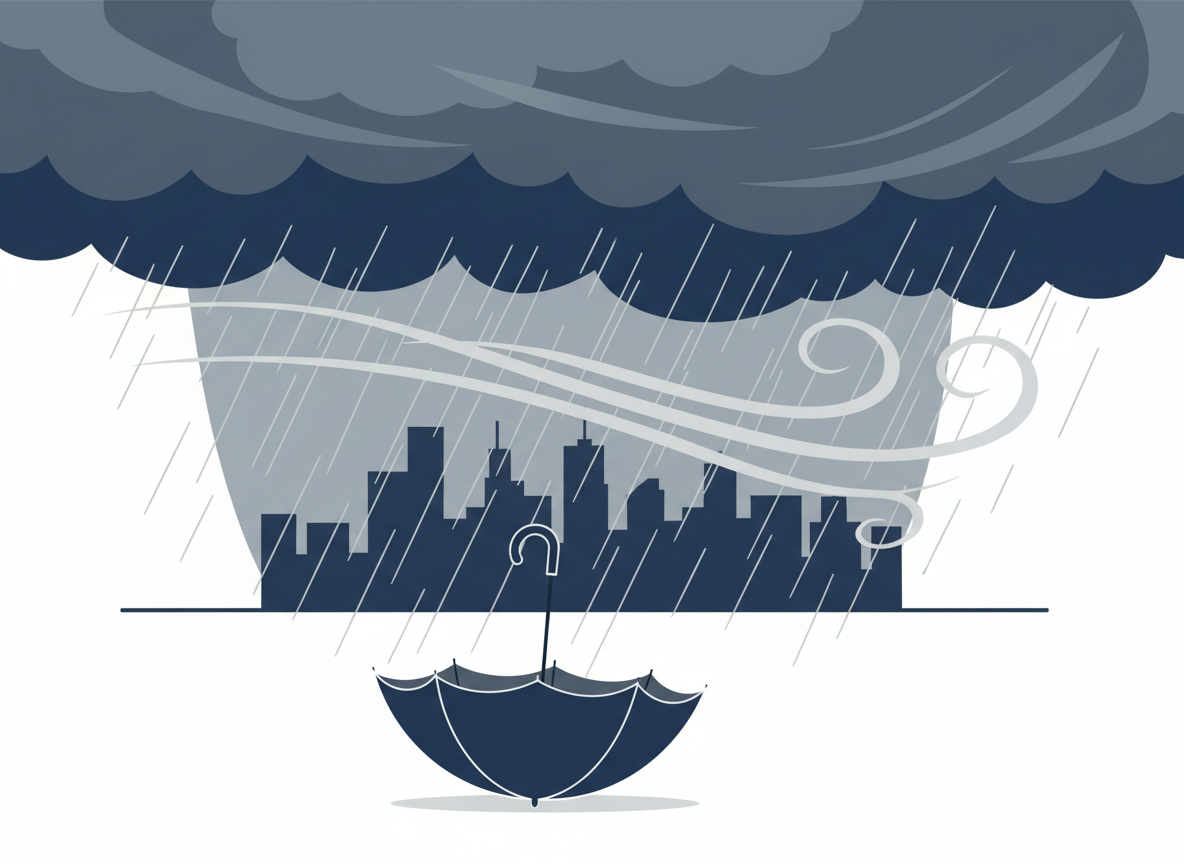
A nor’easter has swept into the New York City area and broader Northeast, triggering coastal flood warnings and high wind alerts — a notably early appearance for a storm type that usually shows up between late fall and early spring.
Why it’s rare in September
Nor’easters get their name from the direction their punishing winds blow in from, and typically form off the East Coast between Georgia and southern New England. They’re most common from mid-fall through mid-spring and are usually associated with winter snowstorms — but this storm arrived just as autumn officially began, fueled partly by leftover tropical moisture rather than a winter setup.
What’s actually happening
Coastal flood warnings have been in effect across the coastal counties of New York and New Jersey, with high wind warnings covering Monmouth and Ocean Counties. Sustained winds of 25 to 40 mph, with gusts reaching 50 to 60 mph in coastal spots, have combined with heavy rain — generally 2 to 3 inches, with higher localized totals — to create hazardous conditions.
Why the timing made it worse
The storm’s arrival lined up with a full moon, which pushes astronomical tides to their monthly peak. That combination of already-elevated tides plus onshore storm winds is exactly the recipe for moderate to major coastal flooding, with waves in the Long Island Sound reaching 7 to 12 feet. Widespread beach erosion and localized power outages from downed trees and lines have also been reported.
Officials in New York and New Jersey urged residents in flood-prone coastal areas to secure loose outdoor items and avoid unnecessary travel near the shoreline through high tide cycles, since coastal flood warnings can escalate quickly as a storm like this lingers near the coast.
Leave a Reply